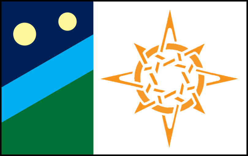
The planetary flag of Chakona. Credit: Goldfur
Chakona is the adopted homeworld of the chakat species; the label is sometime used to refer to the system containing the planet as well as the planet itself.
System Data[]
Primary: Aquila RA 19h49m7s D 8°46'; spectral class G3; re-designated Chakastra ("Chakats' Star")
The system consists of:
- Aquila 19D8A-01, Pelagica; terrestrial type S
- Aquila 19D8A-02, Haribon'; terrestrial type S
- Aquila 19D8A-03, Bateleur; terrestrial type F; four satellite bodies, captured asteroids
- Aquila 19D8A-04, Chakona; terrestrial type L; two satellite bodies, designated Ka'turna and Cha'turna
- Asteroidal belt, Dinormis Belt; minor planetisimals, largest 200km diameter
- Aquila 19D8A-05, Harpagornis; Jovian type gas giant; 27 satellite bodies, dust rings
- Asteroidal belt, Apteryx Belt; minor planetisimals, largest 75km diameter
- Aquila 19D8A-06, Peregrinus; sub-Jovian type gas giant
- Aquila 19D8A-07, Milvus; sub-Jovian type gas giant
- Aquila 19D8A-08; terrestrial type S
- Aquila 19D8A-09; terrestrial type S
- Aquila 19D8A-10; terrestrial type S (retrograde)

Chakona and Chakona Gateway Station as seen during orbital approach. Credit: Rhiannon (GingerM on FurAffinity)
Planetary Data[]
- Axial tilt: 18°
- Orbital radius: 1.2 AU
- Surface acceleration: 98.3% 1 standard gravity (9.63 m/sec2)
- Equatorial diameter: 10,982.739 km
- Equatorial circumference: 34,503.293 km (86.1% of Earth)
- Surface area: 378,940,680.55 sq. km
- Total land area: 79,577,542.916 sq. km
- Total habitable land area: 52,095,040.392 sq. km (remainder under northern ice cap)
- Total water surface area: 299,363,137.634
- Chakona Gateway Station's chakonastationary position: 56°E 0°N
Major landmasses[]
| Land Mass | Area in km2 | Area as % of planet surface area |
| Flinders Continent | 6,357,684.630 | 1.68% |
| Pacifis | 6,342,196.563 | 1.67% |
| Galilei | 6,180,710.532 | 1.63% |
| Tonopah | 5,186,044.212 | 1.37% |
| Bonifacio | 4,960,070.104 | 1.31% |
| Didwana | 4,502,169.228 | 1.19% |
| Bosporus | 4,335,515.509 | 1.14% |
| Vaasa | 3,962,831.458 | 1.05% |
| Nova Belarus | 3,289,144.187 | 0.87% |
| Aotearoa | 774,921.995 | 0.20% |
| Ulara | 730,517.788 | 0.19% |
| Skunktaur Archipelago (25 islands, not including Nova Belarus) | 2,748,316.258 | 0.73% |
| All remaining islands | 2,724,917.926 | 0.72% |
Continental features and population centres[]
- Flinders Continent
- Amistad - Planetary capital city; also spaceport facilities.
- Berdoovia - city; home of Dewclaw University's main campus
- Wanganui - city
- Eyre - city
- Marpletown - township
- Dorado National Park
- Pacifis
- Rivertina - city
- Galilei
- Port Kepler - city
- Tallawang - township
- Tonopah
- Johnston - city
- Bonifacio
- New New York - city
- Eucla City - city
- Didwana
- Silver Lake - city
- Bosporus
- Haliaeetus - city
- Vaasa
- Esperanta - city
- Nova Belarus
- Knightsport - city
- Ghenna - township
- Stuart Island - next largest island in the Skunktaur Archipelago
- Redpaws - city
- New Bletchley - city
- Curtisport - city
- Aotearoa
- New Auckland - city
- Yarraville - city
- Resolute - arctic research station on northern icecap
Named minor landmasses[]
- Ainsworth Island - Skunktaur Archipelago
- Alaula Island - east of Ulara; formerly East Island
- Bass Island - Skunktaur Archipelago
- Bunyip - north of Flinders Continent
- Burke Island - Skunktaur Archipelago
- Cassowary Island - between Aotearoa and Didwana
- Cook Island - north of Flinders Continent
- Equatoria - city
- Twins Port - township
- Dixon Island - Skunktaur Archipelago
- Draco - south of Bonifacio
- Emu Island - between Aotearoa and Didwana
- Forrest Island - Skunktaur Archipelago
- Gumm Island - Skunktaur Archipelago
- Halo Island - west of Bosporus
- Harper - west of Bosporus
- Horn Island - west of Bosporus
- Hume Island - Skunktaur Archipelago
- King Island - Skunktaur Archipelago
- Kiwi Island - between Aotearoa and Didwana
- Leichardt Island - Skunktaur Archipelago
- Lyeland - west of Bosporus
- Mawson Island - on edge of southern icecap
- McIntyre Island - Skunktaur Archipelago
- Mitchell Island - Skunktaur Archipelago
- Moa Island - between Aotearoa and Didwana
- Oxley Island - Skunktaur Archipelago
- Serpent Isle - north of Pacifis, west of Flinders Continent
- Strzelecki Island - Skunktaur Archipelago
- Triggs - between Galilei and Bonifacio
- Unamit - north-west of Galilei
- Wentworth Island - Skunktaur Archipelago
- Willis Island - Skunktaur Archipelago
- Yowie - north of Flinders Continent, at nearly 0 degrees latitude, 0 degrees longitude
References[]
Trivia[]

IAU official starchart of Aquila constellation, with Chakastra's coordinates marked in blue. No such star exists in the real world.
- Scanning the actual coordinates indicated (Aquila 19h 49m 07s, Declination +8° 46' 0") reveals no star at all, and the IAU's stellar database shows only empty space at this location. The star is purely fictitious.
- If Chakastra were real, it would be appear slightly to the right and south of Altair. A G3-class star within practical range of our solar system should be visible to the naked eye, and clearly distinguishable in any telescope on a clear night.
- In astronomy, Aquila is a constellation, not a star. There are no real stars called "Aquila", nor is there any G3-class star in the entire constellation. A list of stars in the constellation can be found here.
- Bernard Doove has a copy of an official-looking document from the "International Star Registry". Unfortunately, not only did he buy an imaginary star, but the company in question has zero authority to alter star names (that is the sole control of the IAU), and they effectively sell fraudulent documents. One hopes he did not pay very much for what is effectively a meaningless piece of paper.